Description
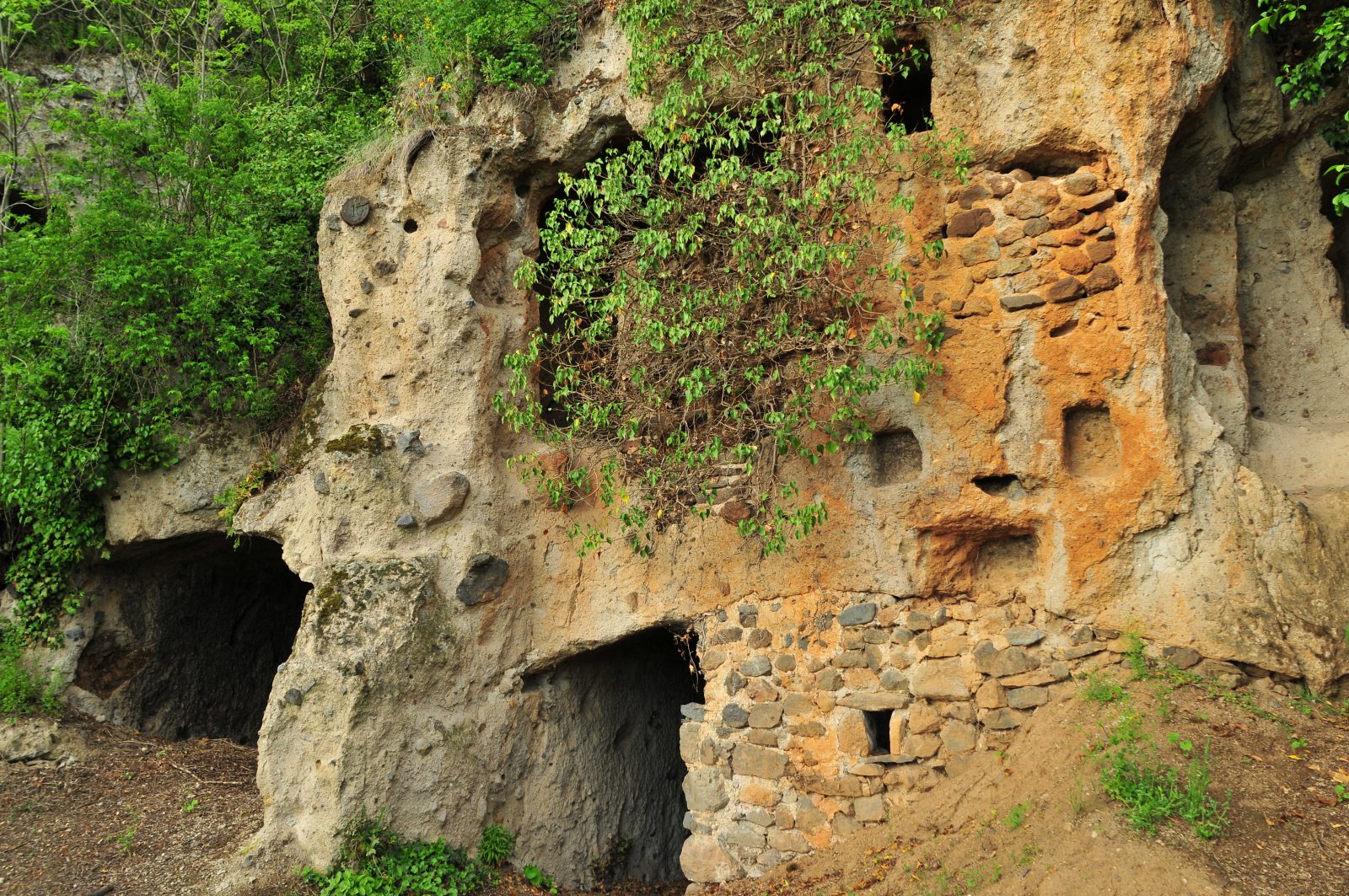
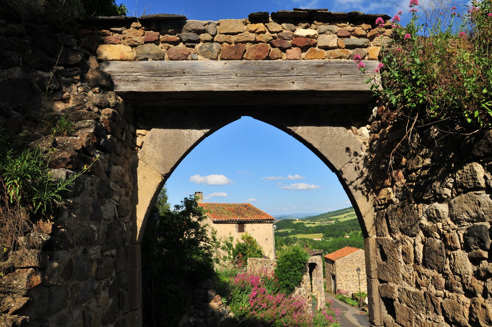
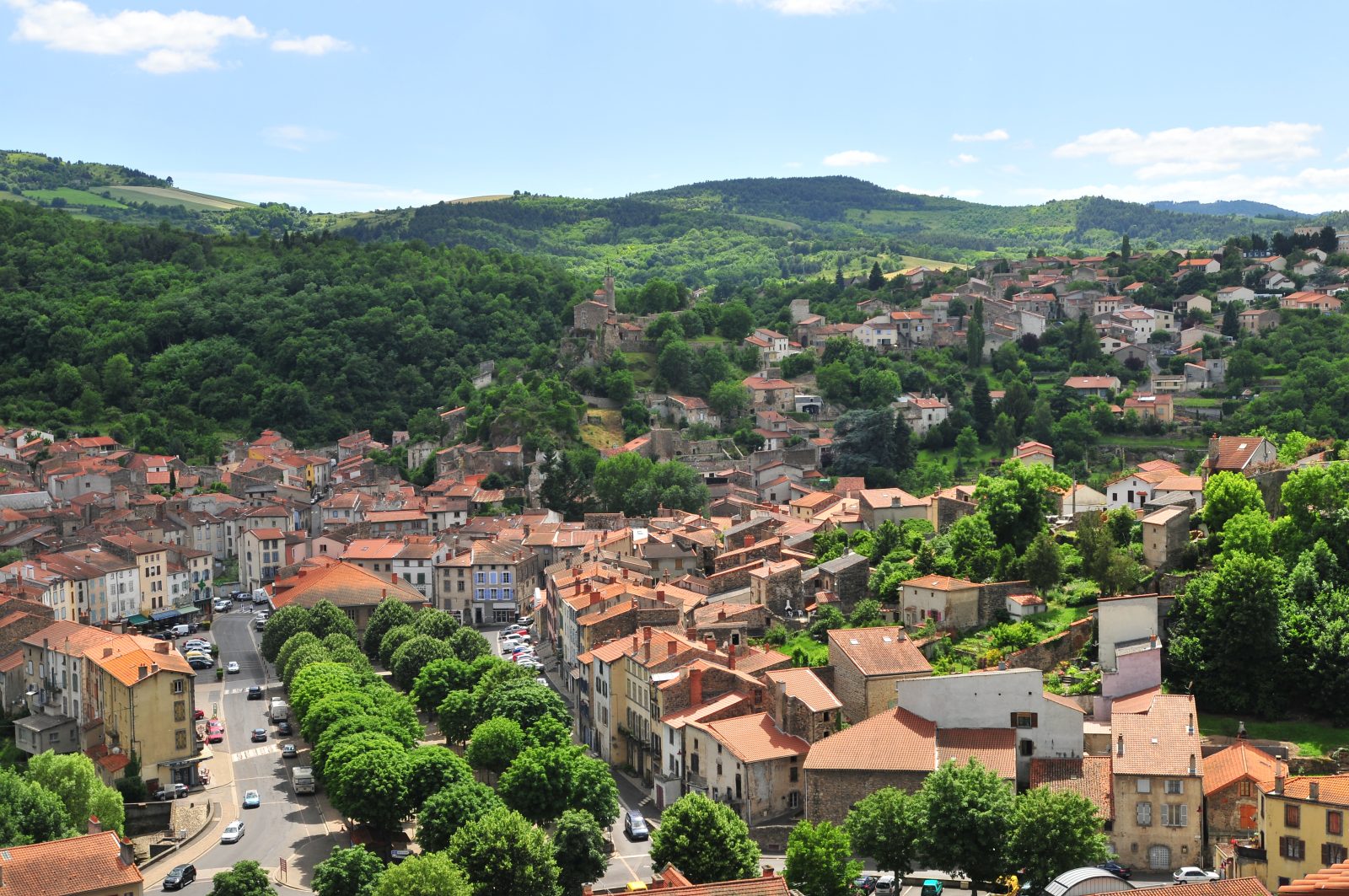
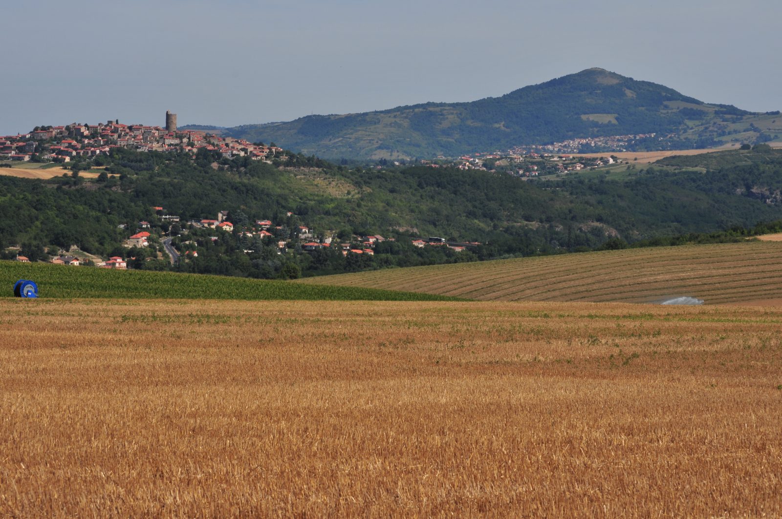
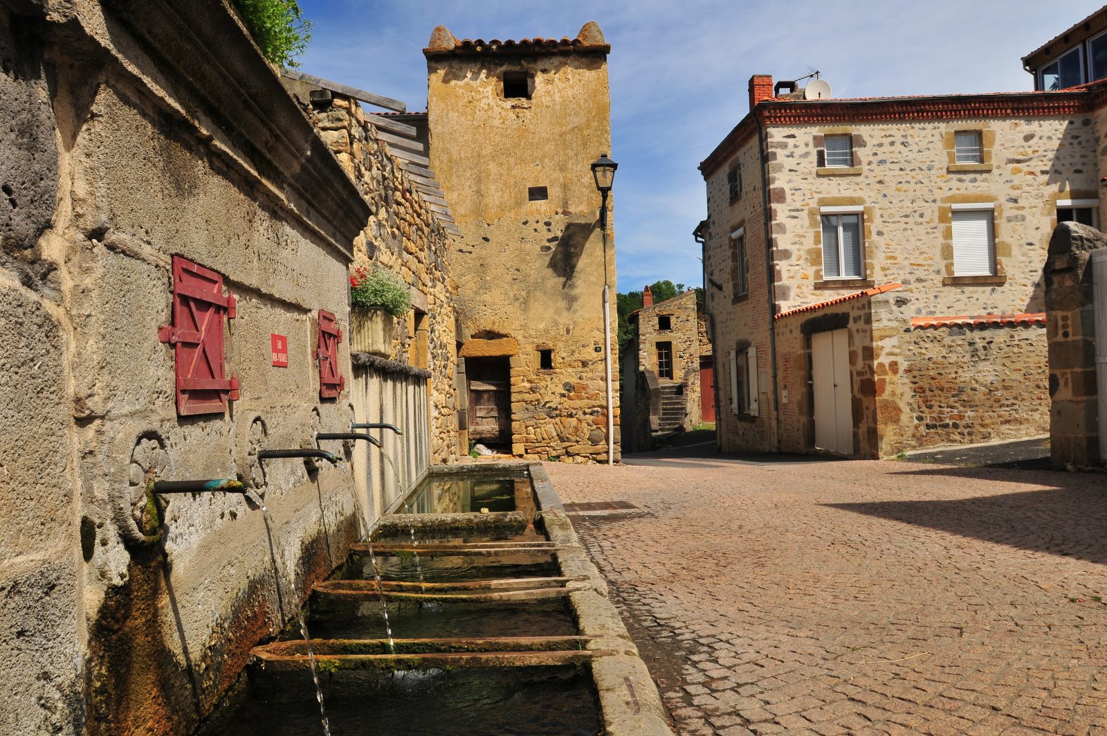
Itinerary to the land of the Couzes, the rivers that originate in the Sancy. On your way, you will discover the caves of Perrier and cross beautiful villages full of character such as Champeix, Montaigut-Le-Blanc, St-Floret or Chadeleuf.
The itinerary begins in Issoire.
The villages crossed: Pardines / Perrier / Meilhaud / St-Cirgues-sur-Couze / St-Vincent / Saint-Floret / Clémensat / Montaigut-le-Blanc / Ludesse / Champeix / Neschers / Chadeleuf / Sauvagnat-ste-Marthe / Pardines.
Profile
- Altitude max. itinerary:709 m
- Altitude difference:583 m
- Positive elevation gain:583 m
- Markup accuracy:Yellow and red marking
- Route type:Loop
- Distance:61 km
- Roaming duration:3 day(s)
Activities
- Pedestrian sports
- Hiking itinerary
Services / Equipment
- Pets allowed
- Pets welcome
Opening
From 01/01 to 31/12.
Subject to favorable weather.
Tourist Office of Pays d'Issoire
9 place Saint Paul -
63500 ISSOIRE
Near abbey-church Saint-Austremoine
+33 (0)4 73 89 15 90
Opening hours during school terms
From Monday to Friday from 2:00 PM to 5:00 PM and Saturday from 9:30 AM to 12:30 PM
Opening hours during school holidays
From Monday to Saturday from 09:30 AM to 12:30 PM and from 2:00 PM to 5:30 PM
Opening hours during summer holidays
From Monday to Saturday from 09:30 AM to 6:30 PM and Sunday from 10:00 AM to 12:30 PM and from 2:00 PM to 6:00 PM
Credits -
Site map -
-
Legal notice -
Made with by IRIS Interactive
Back to top
Ce site est protégé par reCAPTCHA. Les règles de confidentialité et les conditions d'utilisation de Google s'appliquent.

 UK
UK
 FR
FR