Description
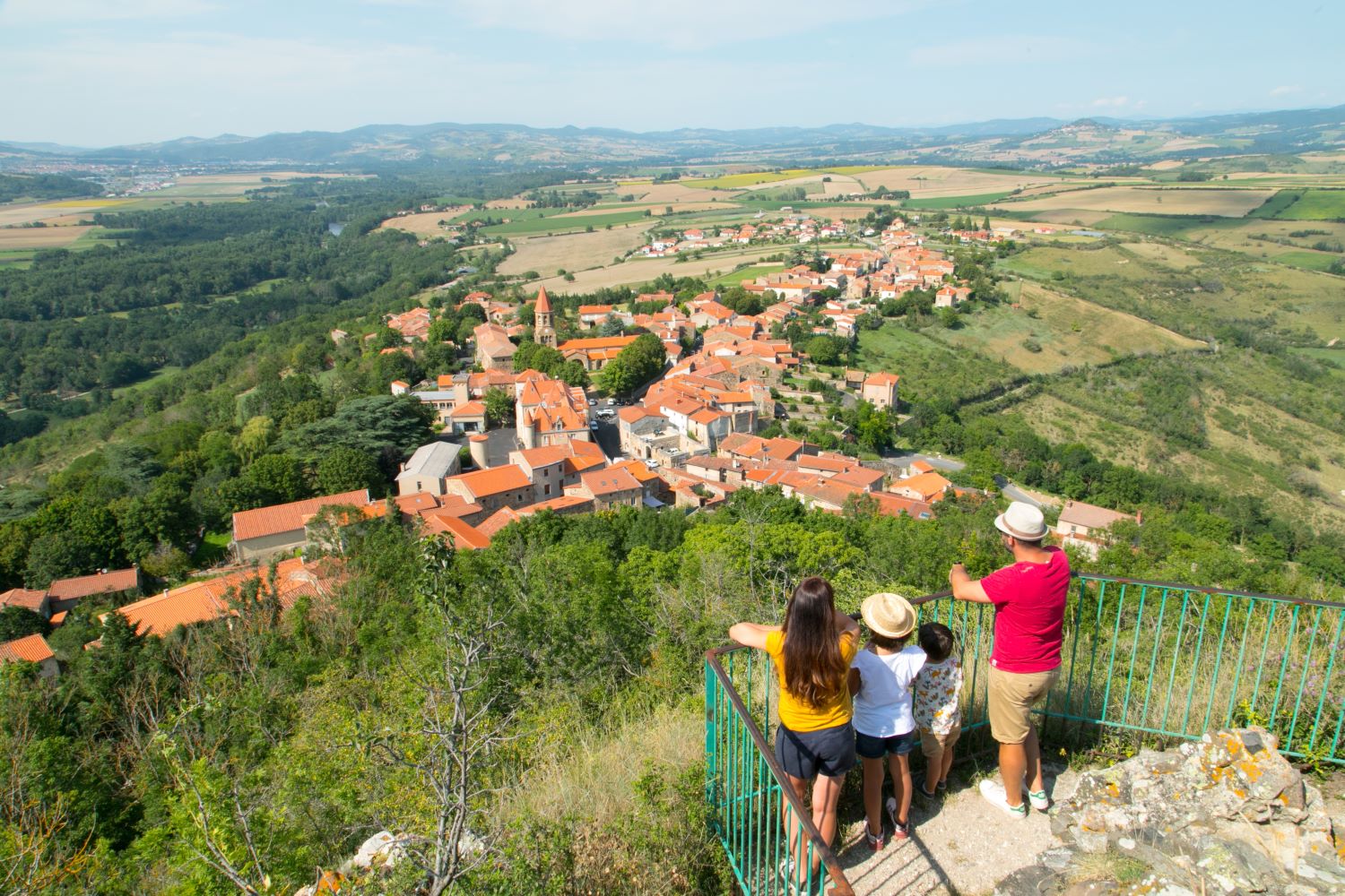
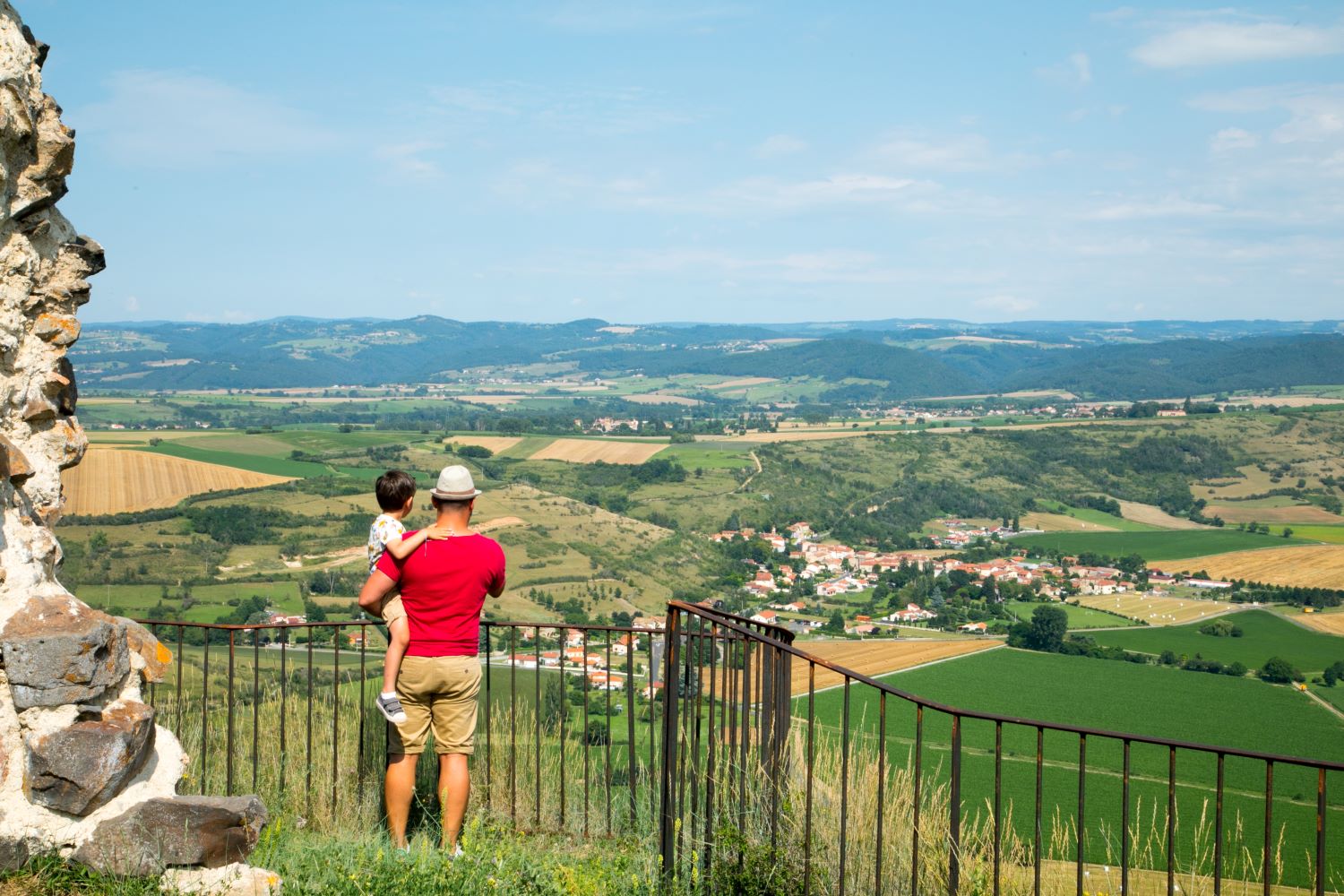
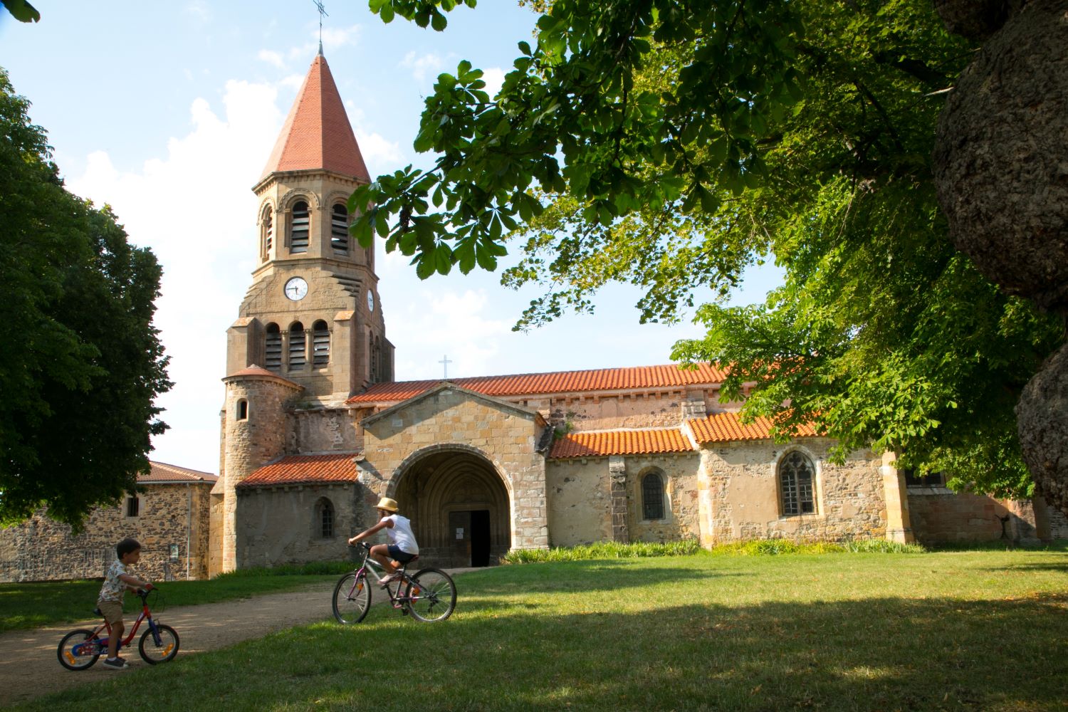
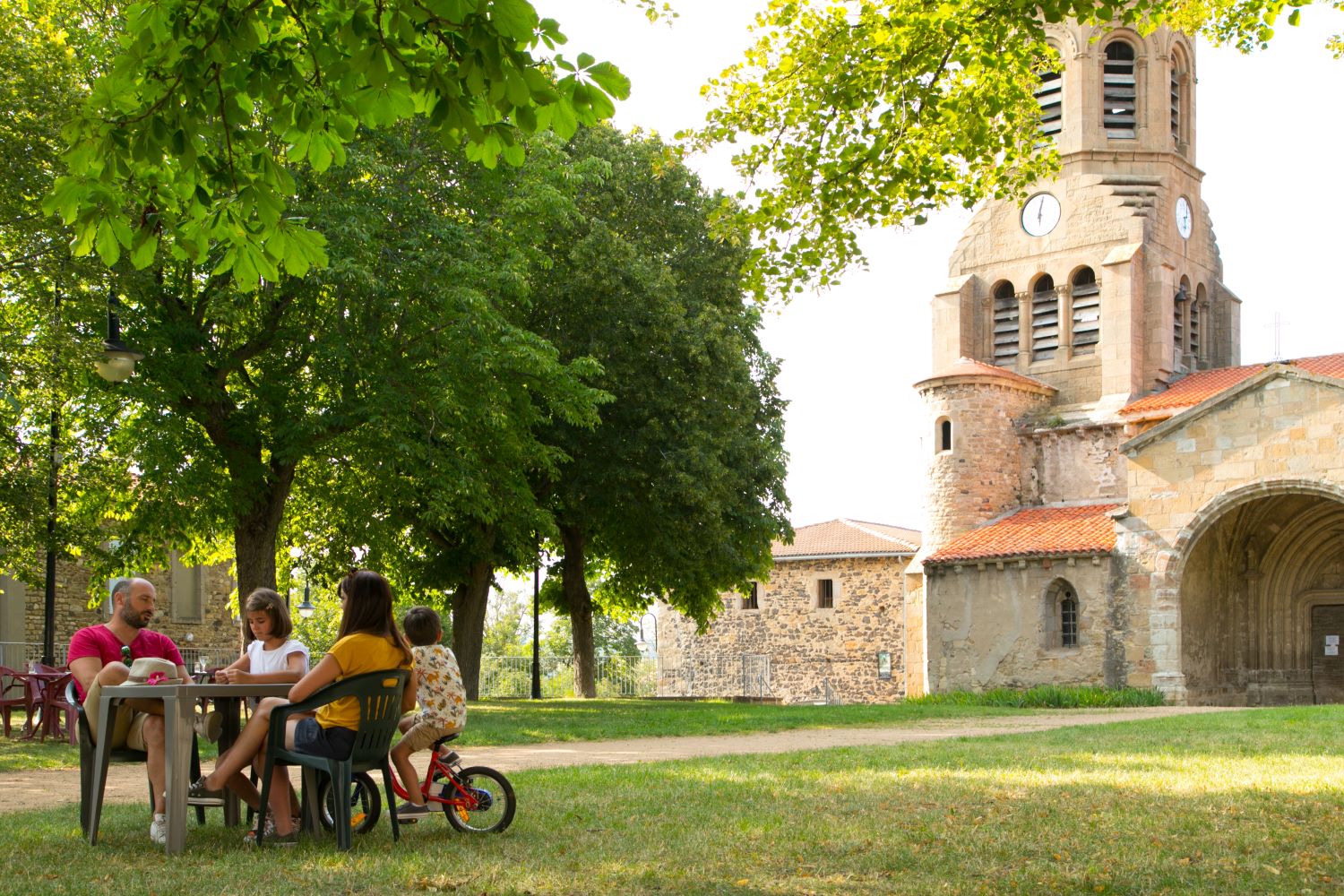
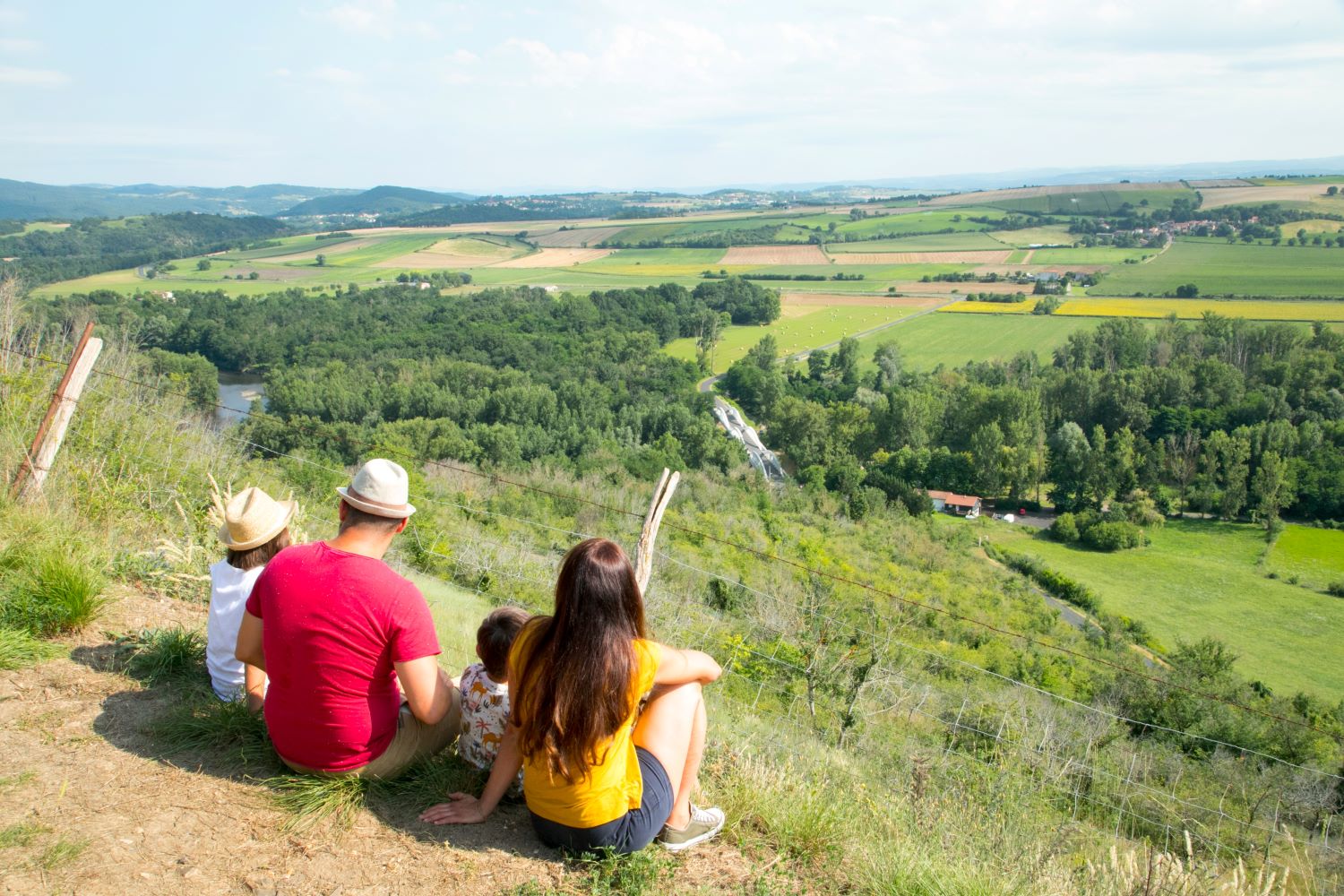
Nonette is an old winegrowing village of 300 inhabitants with a rich historical past. It is perched on a volcanic promontory offering a 360-degree view. The peak summit rises to 578 m, or 170 m above the Allier.
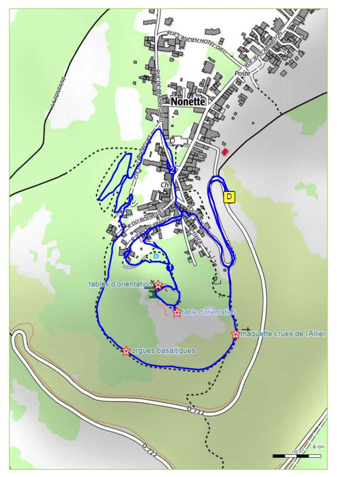
Starting point - From the starting point, go down towards the Place de l'Église, walk along it on the left and then take the first path on the left (chemin de ronde). After passing through the gate, cross the Parc des Horts, take the footbridge. Then keep going down to the left to pass under the footbridge. Follow the path to the last houses.
1 - Continue opposite on the grassy path, (rampart walk) (View on the Allier valley and the Puys chain) and go up to the model "Crues de l'Allier ". Continue to the road then turn left, 50 m before the starting point, under the porch. Go up the rue de France on the left and follow the "la butte" sign until the intersection after the water tower.
2 - Go up in front for a round trip by making a loop at the top (ruin of the castle and 360° view). Go down to point 2, turn left and go down the stairs to the ramparts. Take the door on the right and go back to the starting point.
- Entity information:Office de Tourisme Auvergne Pays d'Issoire
Profile
- Altitude max. itinerary:560 m
- Altitude difference:120 m
- Positive elevation gain:120 m
- Markup accuracy:Butterfly
- Route type:Loop
- Distance:3,1 km
- Daily duration:01h30
Activities
- Pedestrian sports
- Hiking itinerary
Services / Equipment
- Pets allowed
- Pets welcome
Opening
From 01/01 to 31/12.
Subject to favorable weather.
Customer type
- Children
- Level green – easy
Tourist Office of Pays d'Issoire
9 place Saint Paul -
63500 ISSOIRE
Near abbey-church Saint-Austremoine
+33 (0)4 73 89 15 90
Opening hours during school terms
From Monday to Friday from 2:00 PM to 5:00 PM and Saturday from 9:30 AM to 12:30 PM
Opening hours during school holidays
From Monday to Saturday from 09:30 AM to 12:30 PM and from 2:00 PM to 5:30 PM
Opening hours during summer holidays
From Monday to Saturday from 09:30 AM to 6:30 PM and Sunday from 10:00 AM to 12:30 PM and from 2:00 PM to 6:00 PM
Credits -
Site map -
-
Legal notice -
Made with by IRIS Interactive
Back to top
Ce site est protégé par reCAPTCHA. Les règles de confidentialité et les conditions d'utilisation de Google s'appliquent.

 UK
UK
 FR
FR