
 UK
UK
 FR
FR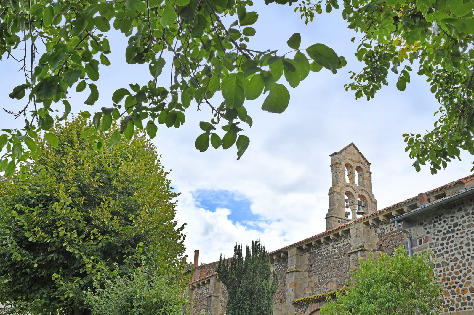


Description
Starting point - From the starting sign, walk along the square in the direction of the Saut du Loup. Turn right into rue de la Poste and then right into rue du Ruisseau. In the square, (church of the 11th-15th centuries, with Piétà) go right up the rue de la Bonne Vierge to the exit of the village.
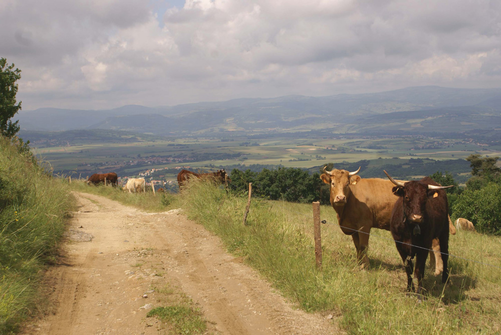
1 - The dirt road climbs on the plateau (view on the hillock and the village of Nonette, the Cézallier, the Sancy massif and the Puys chain). Ignore the small paths on the left and right to reach and cross the D214. A small asphalt road leads up to the entrance to Aubiat. Continue straight ahead along the Esteil road until you leave the village.
2 - The path then rises, on the right, on the hillside (view on the valley of the Allier, La Combelle and the Lembron). We join a path in a clearing. Go up to the right, ignore the small paths on the left and right to lead to a flat area (view on the first foothills of the Livradois). At the intersection, at the entrance to Esteil, continue straight ahead, turn left and then right. Walk past the church (former priory and remains of the cloister), continue under a porch and join the road to Jumeaux. Leave this road before leaving the village by a street on the right leading back to the intersection at the entrance of the village. Continue on the left until you reach the Croix d'Auzat.
3 - Make a 5-minute round trip to a small building at the top of the hill (view of the hills of the County, the Puys mountain range, the Issoire basin, the Sancy massif and the Cantal mountains). From the Croix d'Auzat, go down the path and at the next fork, turn right and then turn left. Go down ignoring the small paths to the left and right until you reach the D34. Follow it on the right for a few meters, then take the path on the left which passes next to the stadium of Auzat-sur-Allier to reach the starting point.
- Entity information:Office de Tourisme Auvergne Pays d'Issoire
Profile
- Altitude max. itinerary:694 m
- Altitude difference:365 m
- Positive elevation gain:365 m
- Markup accuracy:Yellow
- Route type:Loop
- Distance:12,5 km
- Daily duration:03h45
Prices
Free access.
Activities
- Pedestrian sports
- Hiking itinerary
Services / Equipment
- Pets allowed
- Pets welcome
Opening
From 01/01 to 31/12.
Subject to favorable weather.
Spoken languages
Customer type
- Level bue - Medium