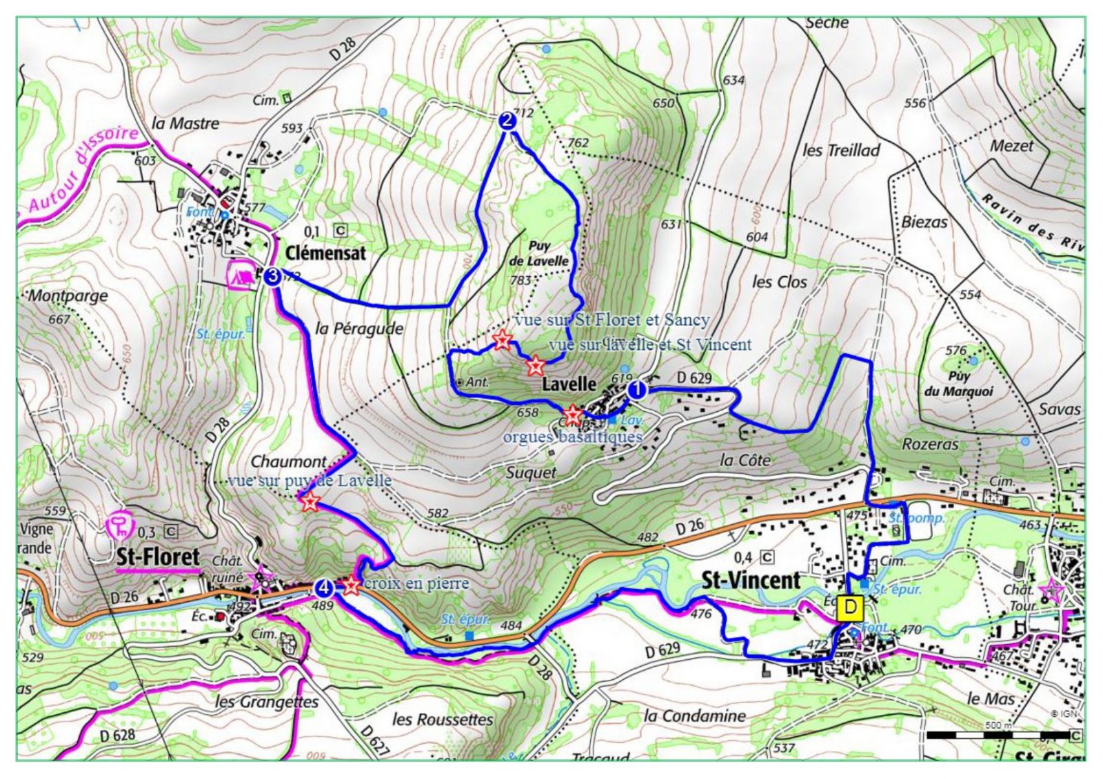
Description
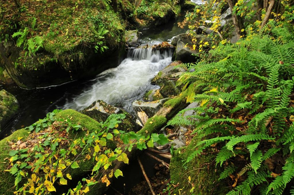
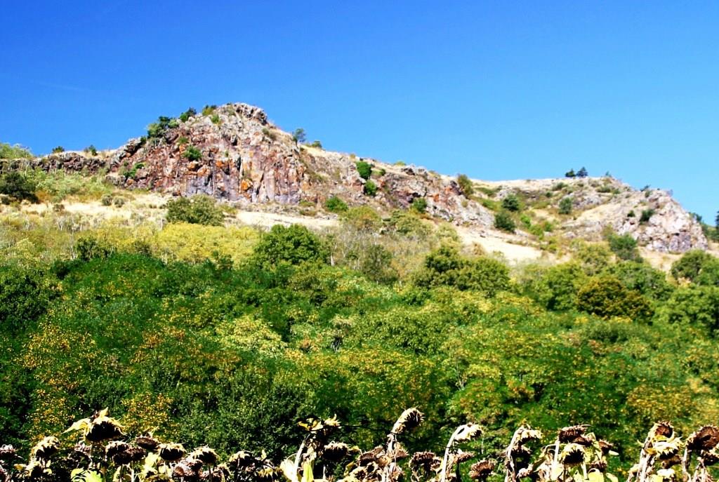
From Saint-Vincent you can walk along the rather arid hills characteristic of the south of the Puy-de-Dôme. We climb to the top of the puy of Lavelle with a beautiful view of Issoire, the Lembron and the Sancy massif. A hike appreciated for its panoramic views.
Starting point - Follow the street towards the D26, then take the first street on the right. Walk along the cemetery, then the stadium. Turn left to take a street parallel to the D26 for 100 m. To cross it. Follow the D629 in front for 100 m then turn right onto a paved road. Continue the ascent until the first intersection and then turn left. Ignore two paths on the left. Continue until you reach the D629. Take it to the right until you reach Lavelle.
1 - Turn left on rue de La Ribe. Pass in front of the church to take the rue de La Chapelle on the left. Continue on rue du Suquet. At the end of the village, on the right, basalt organs. At the next two intersections, take the right lane. After two wooden benches, go up to the right to follow a track climbing in the moor between junipers. Follow the track on the right (view of Clémensat, the church of Saint-Floret and the Monts Dore) around the rocky summit, bordering a cliff (view of Lavelle and Saint-Vincent). Continue the climb up to a wide path. Turn right and go down to a crossroads.
2 - Go to the left. At the fork, turn right until you reach the entrance to Clémensat.
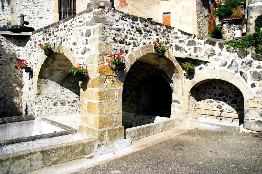
3 - At the T-junction, turn left. At the next one, go down to the right. At the next crossing, continue the descent to the left (view of the puy de Lavelle). Turn right on a small path that goes down quickly into a ravine and joins the D26 at Saint-Floret (stone cross). Cross the road, turn right to a footbridge.
4 - Cross it, turn left to follow the Couze Pavin, cross the D28, pass over a lock, continue along a path and then a path and reach the starting point at Saint-Vincent.
- Entity information:Office de Tourisme Auvergne Pays d'Issoire

 UK
UK
 FR
FR