Description
At the extreme south of the Puy-de-Dôme, the Luguet signal is the highest point of the Cézallier mountains (1551 metres). It offers a spectacular panoramic view of the Cantal, the Sancy massif and the Livradois mountains.
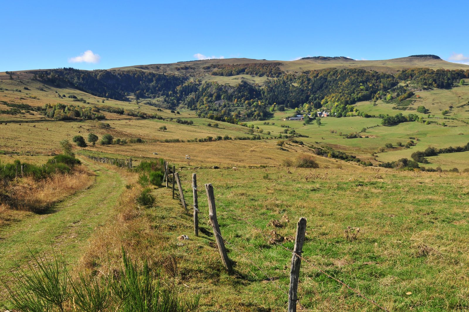
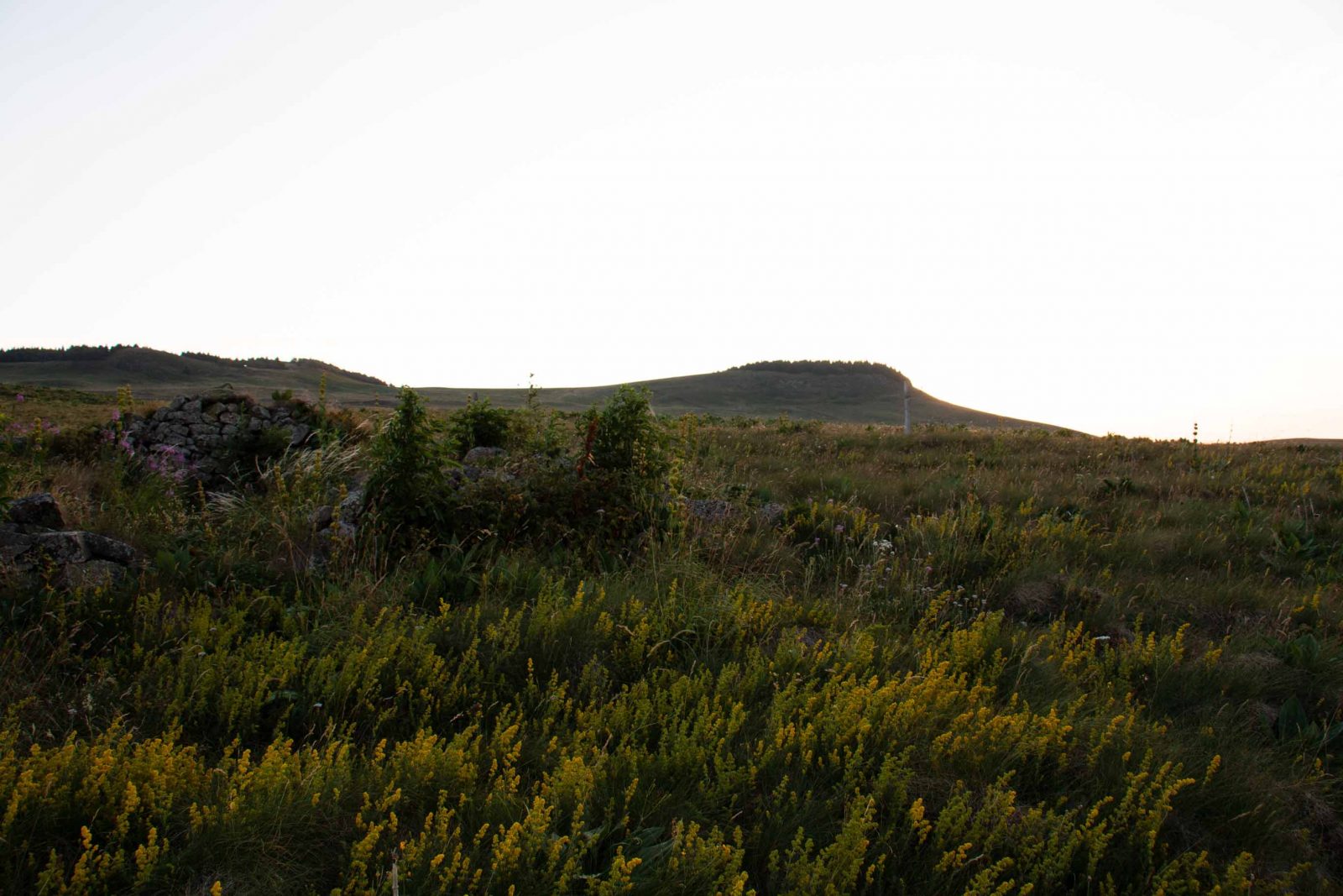
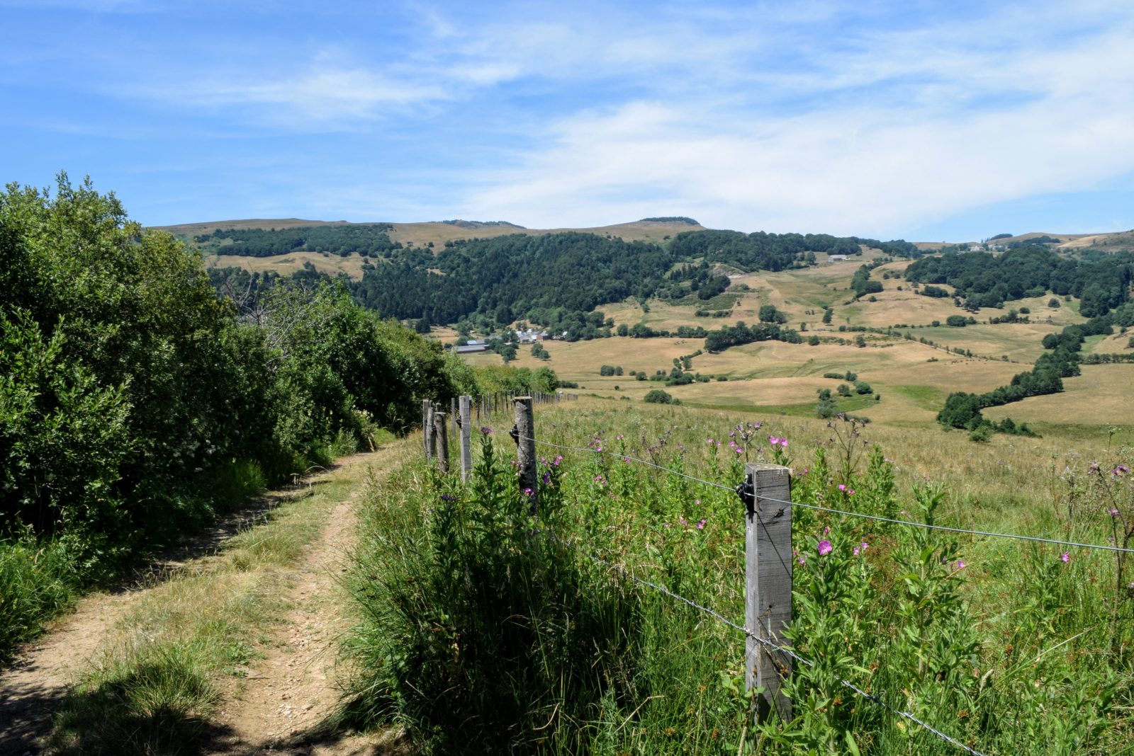
The "Signal du Luguet" is the highest peak of the mounts of Cézallier at 1551m. It corresponds to old lava lakes formed 5 million years ago. The erosion erased the reliefs that overlooked them and the rock found itself in a culminating position. Below, at the east, you can see the crater of Artout. It’s one of the most beautiful glacier valleys of the Massif Central. 20 000 years ago, the snow mopped up by the winds coming from the west accrues at the east. It formed a glacier owing to the weak exposition to sun. We still can find moraines on the slopes.
From the hamlet of Parrot, it is possible to go around the "Signal du Luguet". It is a 7,2km hike offering a round trip to the top of the highest peak of the Cézallier, count 2H30 to do the tour. In winter, this hike is also possible with snowshoes.
- Entity information:Office de Tourisme Auvergne Pays d'Issoire
Tourist Office of Pays d'Issoire
9 place Saint Paul -
63500 ISSOIRE
Near abbey-church Saint-Austremoine
+33 (0)4 73 89 15 90
Opening hours during school terms
From Monday to Friday from 2:00 PM to 5:00 PM and Saturday from 9:30 AM to 12:30 PM
Opening hours during school holidays
From Monday to Saturday from 09:30 AM to 12:30 PM and from 2:00 PM to 5:30 PM
Opening hours during summer holidays
From Monday to Saturday from 09:30 AM to 6:30 PM and Sunday from 10:00 AM to 12:30 PM and from 2:00 PM to 6:00 PM
Credits -
Site map -
-
Legal notice -
Made with by IRIS Interactive
Back to top
Ce site est protégé par reCAPTCHA. Les règles de confidentialité et les conditions d'utilisation de Google s'appliquent.

 UK
UK
 FR
FR