Description
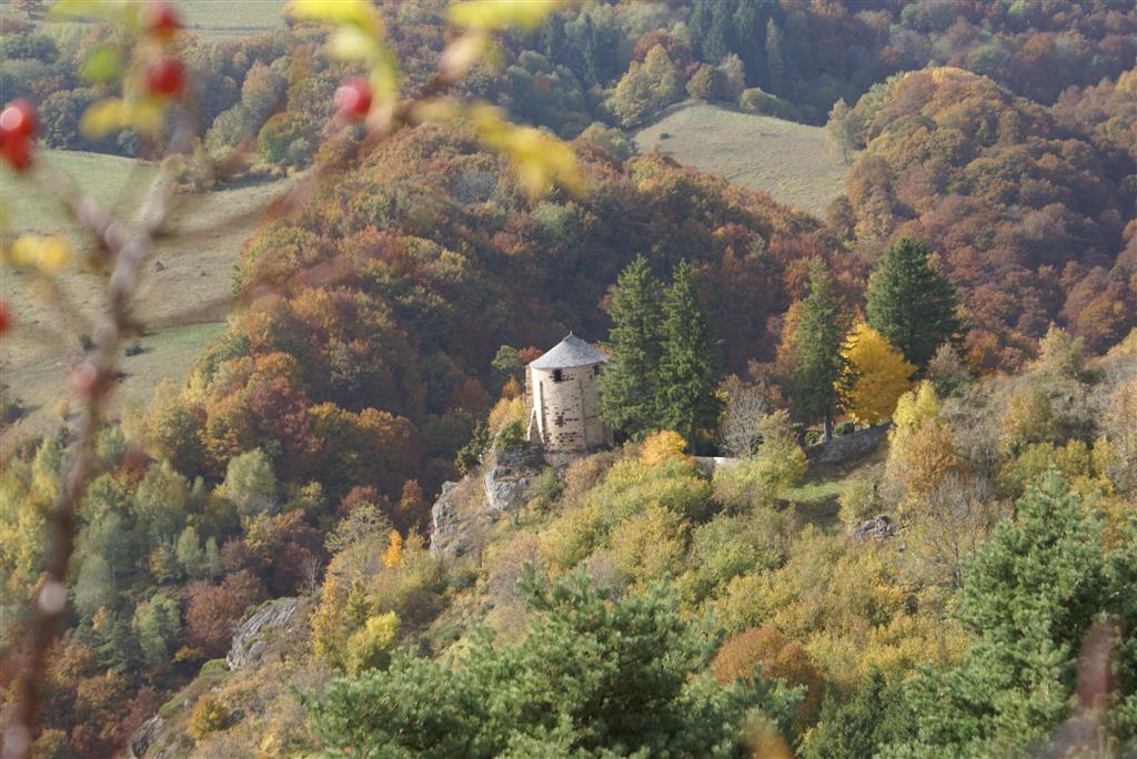
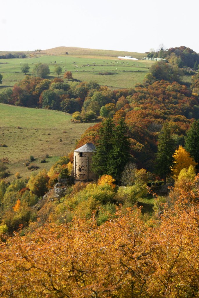
The start of the itinerary is marked by summer pastures. Then, we follow a pilgrimage path punctuated by an altar and calvaries. We enjoy very beautiful views of the valley carved by the streams of Roches-Charles and Sault which meet.
Starting point - Go down the small road and take the first road on the left. Cross a fence (stepladder), cross a wetland and go up to the edge of the plateau.
1 - On the plateau (point of view) progress due west in the meadows. Cross two other fences (viewpoint) and reach an information panel to discover the Roches-Charles site. Go down the path and then take a wide path on the left towards the chapel, until you reach a stone altar set in a clearing.
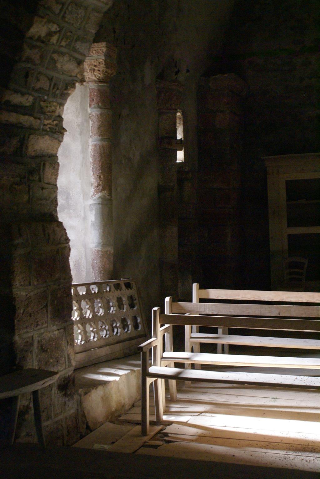
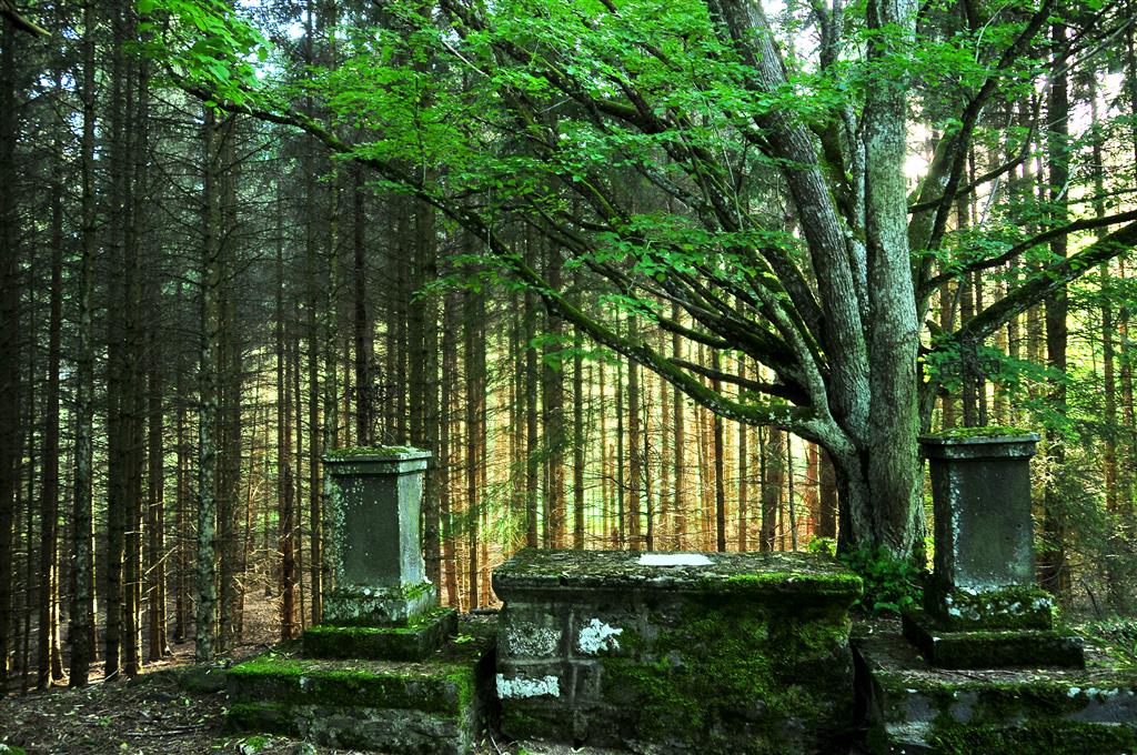
2 - Take the right track (Way of the Cross) which goes up to the cemetery and chapel of Roche-Charles. Turn around and return to point 2 by the same path. Go up on the plateau by the right track (crossing several fences) and continue by a path slightly marked on the hillside until the edge of the plateau.
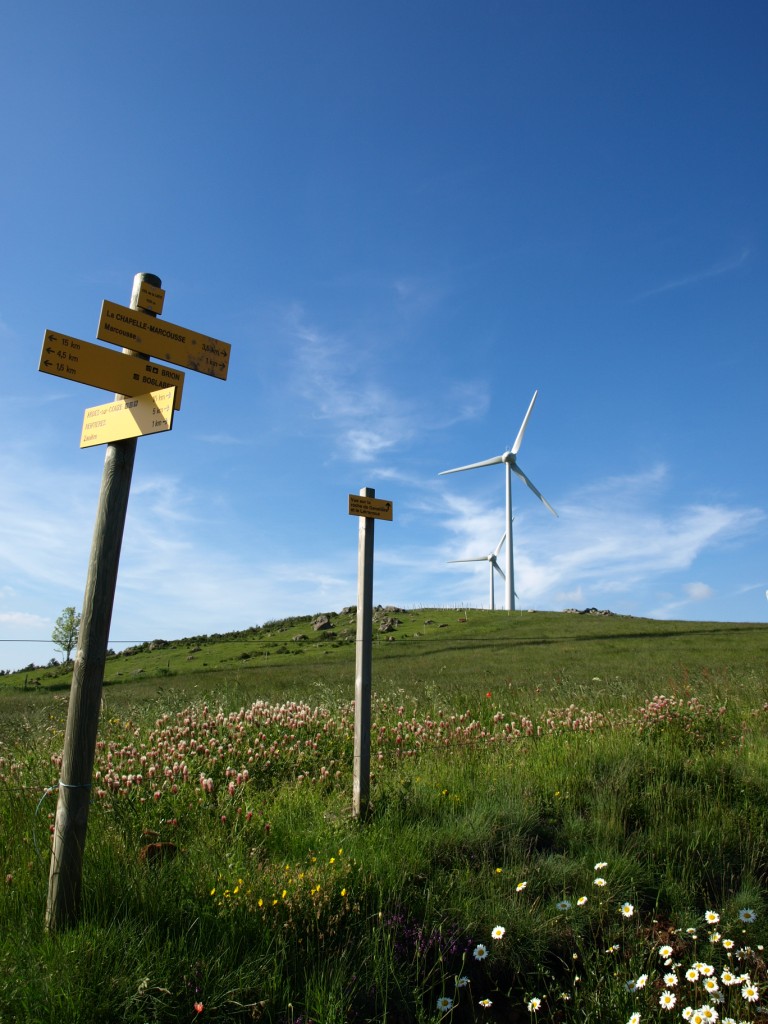
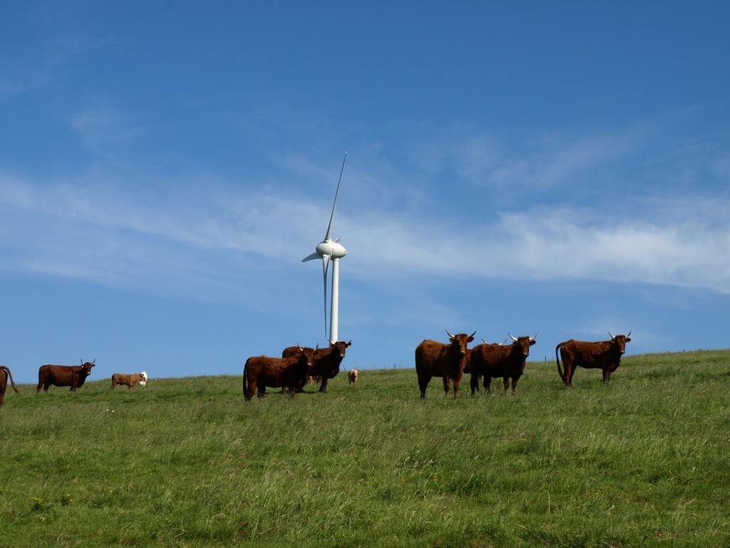
3 - On the plateau, walk along the fence (view of the Puys chain, the Sancy massif, the Cézallier mountains). Join a rural road, take it to the right and go to the road that leads back to Boslabert on the left along a wind farm.
- Entity information:Office de Tourisme Auvergne Pays d'Issoire
Profile
- Altitude max. itinerary:1150 m
- Altitude difference:173 m
- Positive elevation gain:173 m
- Markup accuracy:Blue
- Route type:Loop
- Distance:5 km
- Daily duration:02h00
Activities
- Pedestrian sports
- Hiking itinerary
Services / Equipment
- Pets allowed
- Pets welcome
Opening
From 01/01 to 31/12.
Subject to favorable weather.
Tourist Office of Pays d'Issoire
9 place Saint Paul -
63500 ISSOIRE
Near abbey-church Saint-Austremoine
+33 (0)4 73 89 15 90
Opening hours during school terms
From Monday to Friday from 2:00 PM to 5:00 PM and Saturday from 9:30 AM to 12:30 PM
Opening hours during school holidays
From Monday to Saturday from 09:30 AM to 12:30 PM and from 2:00 PM to 5:30 PM
Opening hours during summer holidays
From Monday to Saturday from 09:30 AM to 6:30 PM and Sunday from 10:00 AM to 12:30 PM and from 2:00 PM to 6:00 PM
Credits -
Site map -
-
Legal notice -
Made with by IRIS Interactive
Back to top
Ce site est protégé par reCAPTCHA. Les règles de confidentialité et les conditions d'utilisation de Google s'appliquent.

 UK
UK
 FR
FR