
 UK
UK
 FR
FR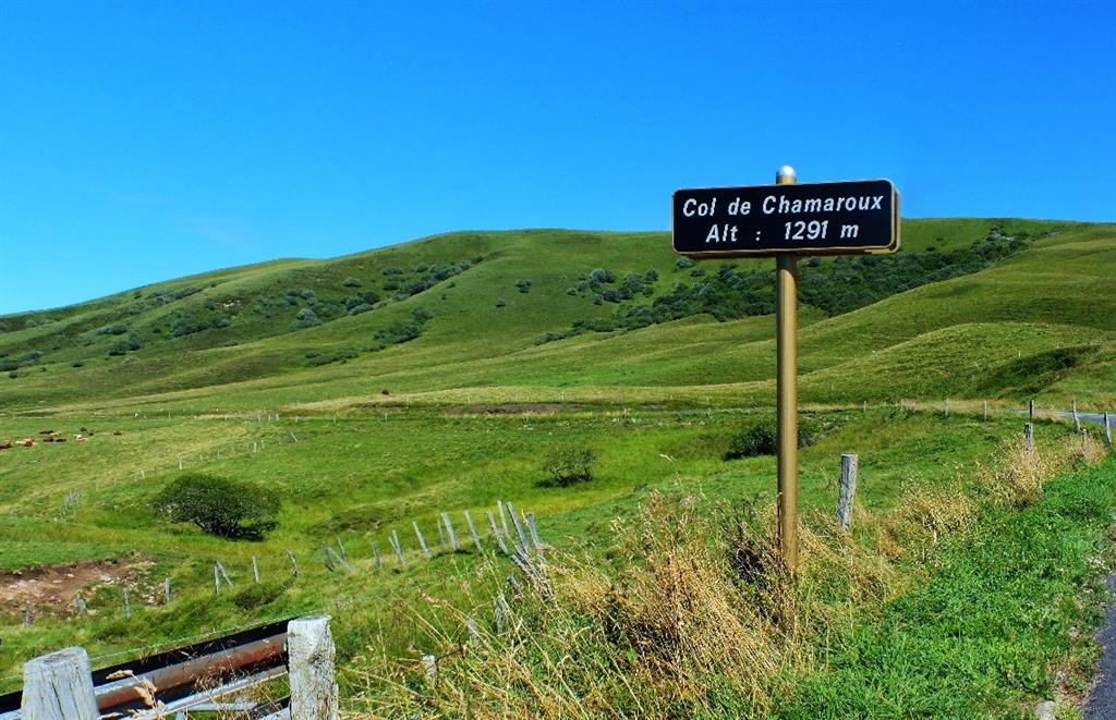
Description
Near the summit of Chamaroux (altitude 1476m), reddish-brown patches appear here and there: legend has it that this ancient volcano is still so hot that in some places the snow doesn't last through the winter and the grass doesn't grow. These are simply outcrops of lava slag, the topsoil having failed to resist erosion. The Cézallier is a Hawaiian-type volcanic formation, and Mont Chamaroux is one of the peaks of this domed volcanic plateau.
Access from the Col du Chamaroux: take care in winter when the road is open; don't cross the summer pastures to reach the top of the mountain, so dogs are not recommended from April to October.
It is interesting to note that the departmental boundary between Puy-de-Dôme and Cantal lies a good kilometer to the west towards Montgreleix: the authorities have also been reluctant to draw a common dividing line!
- Entity information:Office de Tourisme Auvergne Pays d'Issoire
Categories
- Volcano
- Mountain pass
Prices
Free access.
Opening
All year round.