
 UK
UK
 FR
FR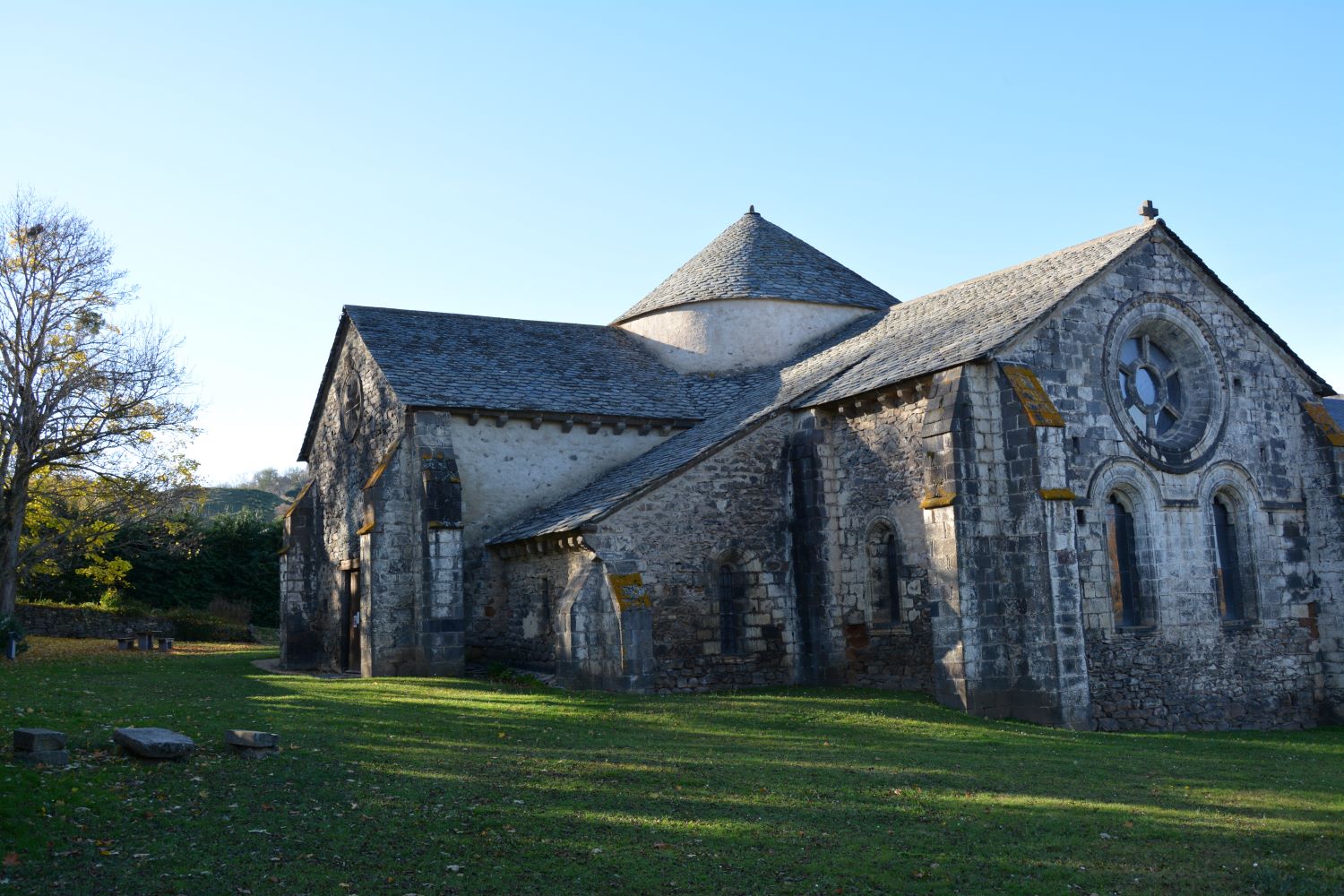


Description
Starting point - From the starting sign, reach the cemetery, turn left on the D23 until you reach the village of Pouchenirgue.
1 - After the washhouse, turn right and continue straight ahead on this asphalt road until you reach the road. Go left, then leave it by the first path on the right. After the big bend to the right, go down ignoring the two paths to the left, (view on the Sancy massif, the peak of Brionnet with the Notre-Dame-du-Mont-Carmel chapel and the puy de Dôme) until the crossing.
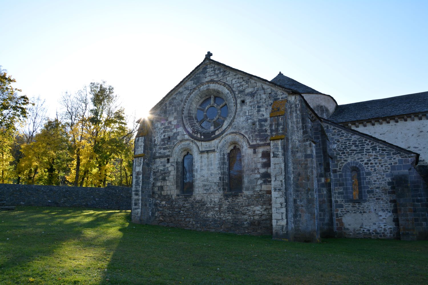
2 - Take the wide track on the right to go up on the Ussel plateau. At the T-junction, turn right, go to the road and turn left. Leave it for the first road on the left and go up to the crossing. Turn right and go down (view of the Monts du Livradois and Forez) until you reach a T-junction. Turn right to go down to the D23. Follow it on the left, then take the small road to Chassagne on the right. Go through the village (church and house with side gables and redents) to reach the starting point.
- Entity information:Office de Tourisme Auvergne Pays d'Issoire
Profile
- Altitude max. itinerary:1030 m
- Altitude difference:200 m
- Positive elevation gain:200 m
- Markup accuracy:Blue
- Route type:Loop
- Distance:6,5 km
- Daily duration:02h00
Prices
Free access.
Activities
- Pedestrian sports
- Hiking itinerary
Services / Equipment
- Pets allowed
- Pets welcome
Opening
From 01/01 to 31/12.
Subject to favorable weather.
Spoken languages
Customer type
- Level green – easy