Description
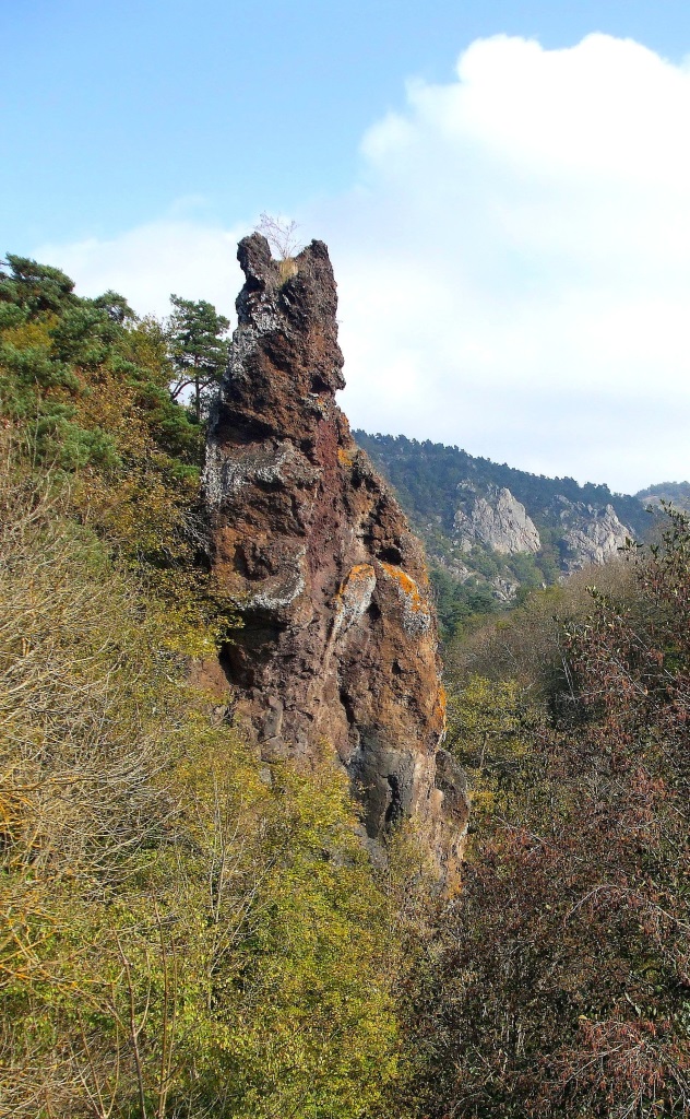
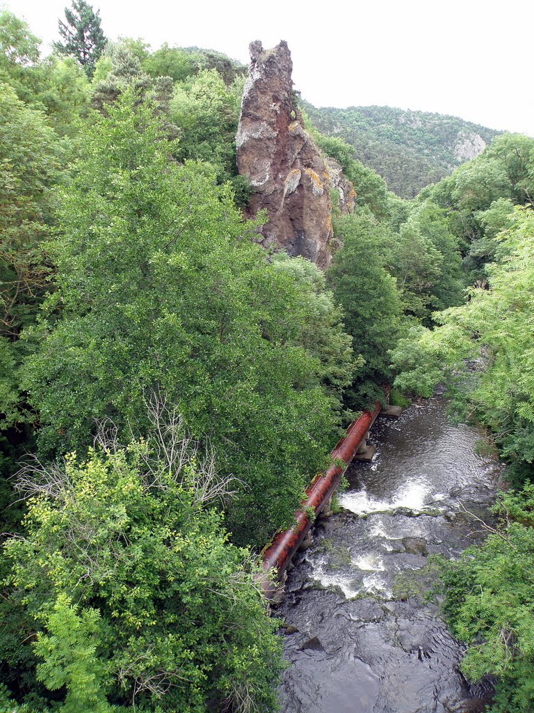
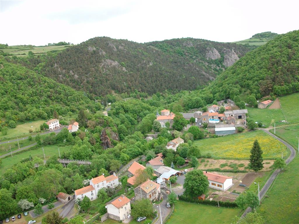
In this small paradise full of plants, the path runs along the couze Pavin and climbs towards the lime of Verrières, wrapping itself around the Puy des Plattes and Bourgeassou. The beautiful viewpoints invite you to join the Roche Longue (volcanic “dyke”).
Starting point - From the starting sign, cross the bridge over the Couze-Chambon and turn right into rue de Charbonnière. At the end of the village continue straight ahead. Leave paths to the right and left, continue until you reach a crossroads.
1 - Go up the grassy path on the left, ignoring two paths on the right. At the asphalt road go up to the right. In the bend take the 2nd track to the left. After the wood (view of the Sancy massif), stay on the main path until you reach the big farm at the entrance of the village of Fontenille.
2 - Turn left, pass in front of a stable and go down to the woods. Continue along a steep path to Couze-Chambon, then follow it on a wide path to Verrières. At the first houses, turn right and reach the starting point.
- Entity information:Office de Tourisme Auvergne Pays d'Issoire
Profile
- Altitude max. itinerary:740 m
- Altitude difference:225 m
- Positive elevation gain:225 m
- Markup accuracy:Blue
- Route type:Loop
- Distance:6 km
- Daily duration:02h00
Activities
- Pedestrian sports
- Hiking itinerary
Services / Equipment
- Pets allowed
- Pets welcome
Opening
From 01/01 to 31/12.
Subject to favorable weather.
Customer type
- Children
- Level bue - Medium
Tourist Office of Pays d'Issoire
9 place Saint Paul -
63500 ISSOIRE
Near abbey-church Saint-Austremoine
+33 (0)4 73 89 15 90
Opening hours during school terms
From Monday to Friday from 2:00 PM to 5:00 PM and Saturday from 9:30 AM to 12:30 PM
Opening hours during school holidays
From Monday to Saturday from 09:30 AM to 12:30 PM and from 2:00 PM to 5:30 PM
Opening hours during summer holidays
From Monday to Saturday from 09:30 AM to 6:30 PM and Sunday from 10:00 AM to 12:30 PM and from 2:00 PM to 6:00 PM
Credits -
Site map -
-
Legal notice -
Made with by IRIS Interactive
Back to top
Ce site est protégé par reCAPTCHA. Les règles de confidentialité et les conditions d'utilisation de Google s'appliquent.

 UK
UK
 FR
FR