Description
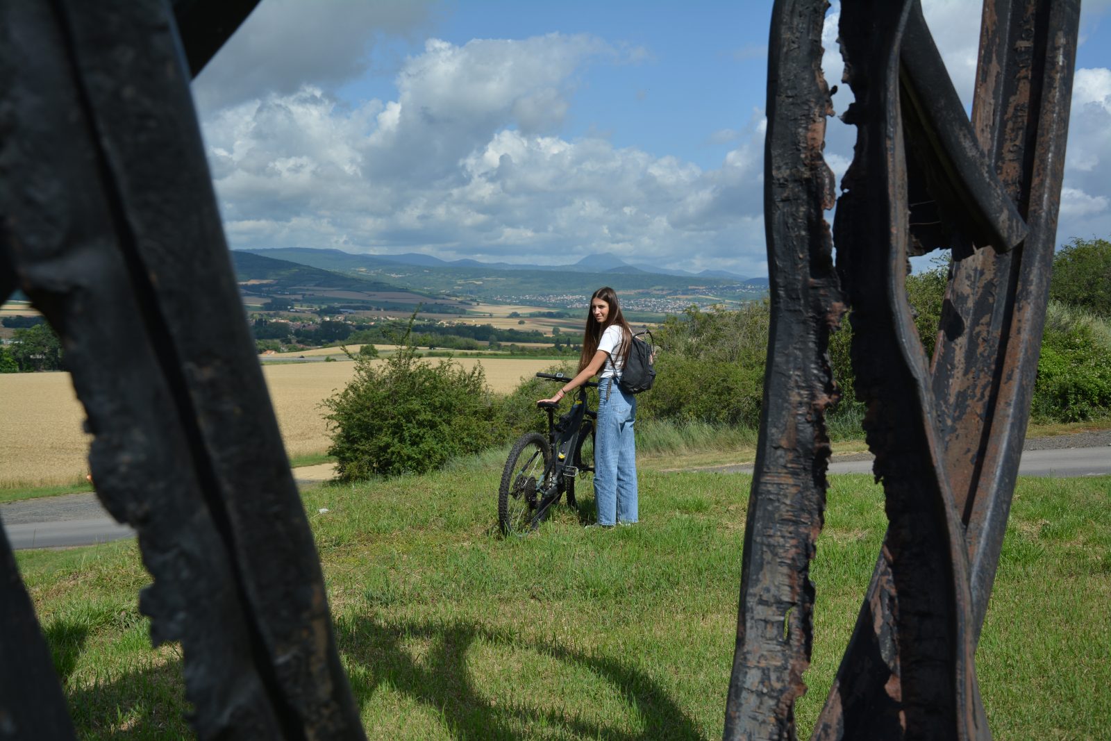
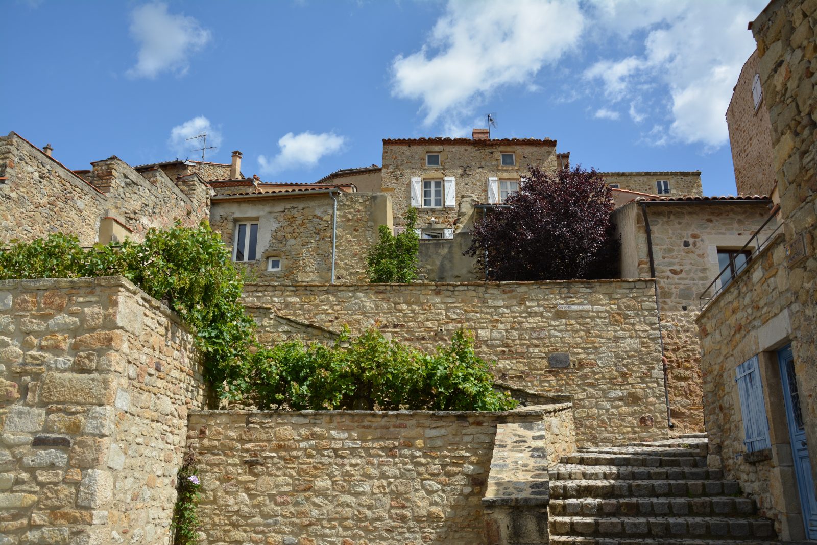
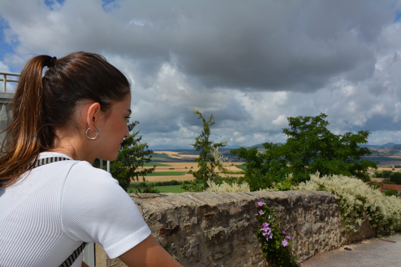
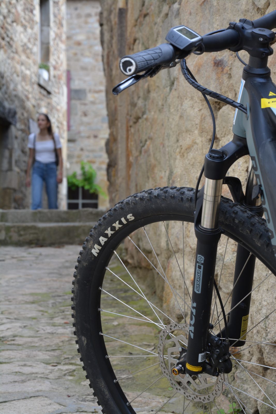
A village of blond stone, perched on a hill, Montpeyroux is easily recognizable. The hiking trail is accessible to families and will allow you to stroll through the pretty alleys and admire the horizon during a short walk.
Starting point - From the starting sign on the car park, pass in front of the community centre and turn left at the roundabout (place de l'Hume). Go up the rue des Granges. In front of the medieval porch, after the church, turn left into rue de Tralume. Go down the stairs on the left, cross the street in front of a cross and join the paved road. Take it down to the first crossroads.
1 - Continue straight on this road, and after a large bend, leave a path that goes to the left towards the castle of Chadieu and go down towards the Allier. Leave a path on the right and continue to the climbing site "Les Rochettes".
2 - After about 80 m, take a small track on the right which joins the first houses of Coudes between gardens and cliff. Go up the rue du Nord for about ten metres and to the right the chemin du Cuel. At the fork, take the right track, and go straight up to get back to the crossroads at point 1, turn left to go up on Montpeyroux. After 100 m, turn left to reach the stone cross. Go up the stairs and turn right into rue de Tralume. In front of the medieval porch, turn right to reach the car park.
- Entity information:Office de Tourisme Auvergne Pays d'Issoire
Profile
- Altitude max. itinerary:457 m
- Altitude difference:160 m
- Positive elevation gain:160 m
- Markup accuracy:Butterfly
- Route type:Loop
- Distance:5 km
- Daily duration:02h00
Activities
- Pedestrian sports
- Hiking itinerary
Services / Equipment
- Pets allowed
- Pets welcome
Opening
From 01/01 to 31/12.
Subject to favorable weather.
Customer type
- Children
- Level green – easy
Tourist Office of Pays d'Issoire
9 place Saint Paul -
63500 ISSOIRE
Near abbey-church Saint-Austremoine
+33 (0)4 73 89 15 90
Opening hours during school terms
From Monday to Friday from 2:00 PM to 5:00 PM and Saturday from 9:30 AM to 12:30 PM
Opening hours during school holidays
From Monday to Saturday from 09:30 AM to 12:30 PM and from 2:00 PM to 5:30 PM
Opening hours during summer holidays
From Monday to Saturday from 09:30 AM to 6:30 PM and Sunday from 10:00 AM to 12:30 PM and from 2:00 PM to 6:00 PM
Credits -
Site map -
-
Legal notice -
Made with by IRIS Interactive
Back to top
Ce site est protégé par reCAPTCHA. Les règles de confidentialité et les conditions d'utilisation de Google s'appliquent.

 UK
UK
 FR
FR