Description
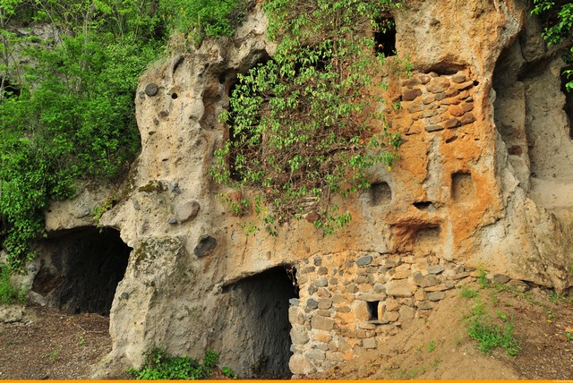
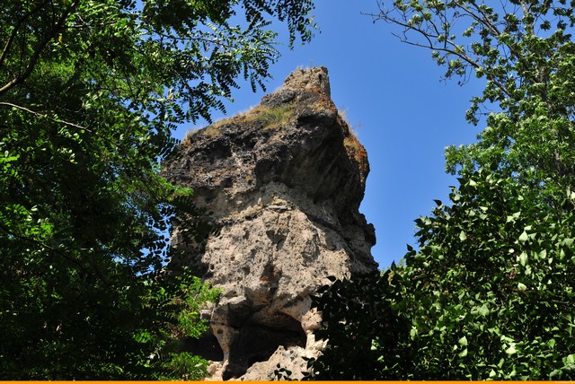
A walk on a remarkable geological site where erosion has left us spectacular shapes including fairy chimneys and offered cave dwellings to the first occupants of the site (prehistoric). One of the most spectacular sites in Auvergne.
Starting point - From the starting sign, head towards the bridge, cross the Couze Pavin, turn right at the iron cross and then turn right again to the Couze. Take the footbridge, go opposite, cross the main street and go up rue du Coudert. Cross the square (PP1: ferryboat and cross), continue along rue du Coudert and turn left onto chemin des Triavaux. At the intersection, turn right, (colored sediment outcrops and eroding shapes in a fairy chimney). Continue until the second track on the left.
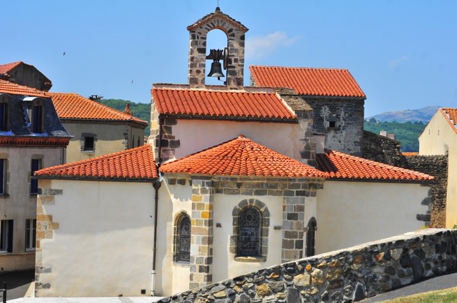
1 - Take it (PV1: view on the villages of the Couze Pavin valley). Go straight ahead until you reach the village of Pardines. Cross it by the rue de la Loubeyre, then the place du Maréchal Ferrand and the rue des Lavandières to the church (PP2: Romanesque church).
2 - Go up to the right rue de la Chaux and pass to the right of the quarry. Continue until the crossroads and turn left towards Boissac. Cross a crossing and go down to the castle (PP3: castle).
3 - Go up a tarred road on the right, go straight ahead until the road, cross it and continue until the T-junction. Turn right and then, 500 m further on, turn left. Leave a path on the left and continue until you reach an intersection.
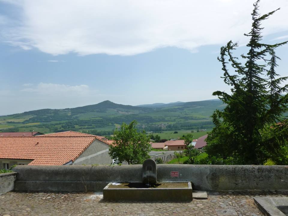
4 - Turn left to follow the edge of the plateau (PV2: wide panorama). Ignore the path on the left at the cross, and continue until the crossing.
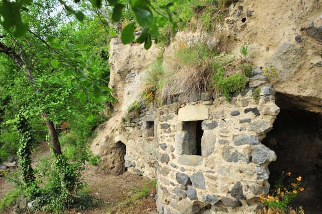
5 - Go down the path to the right. After a few bends in curves, follow the site of Les Grottes (PP4: village of Les Roches). In the chemin des Grottes, turn left (PP5: common oven and railway loom) then right, rue des Grottes, cross the main street and join the car park under the church.
- Entity information:Office de Tourisme Auvergne Pays d'Issoire

 UK
UK
 FR
FR