
 UK
UK
 FR
FR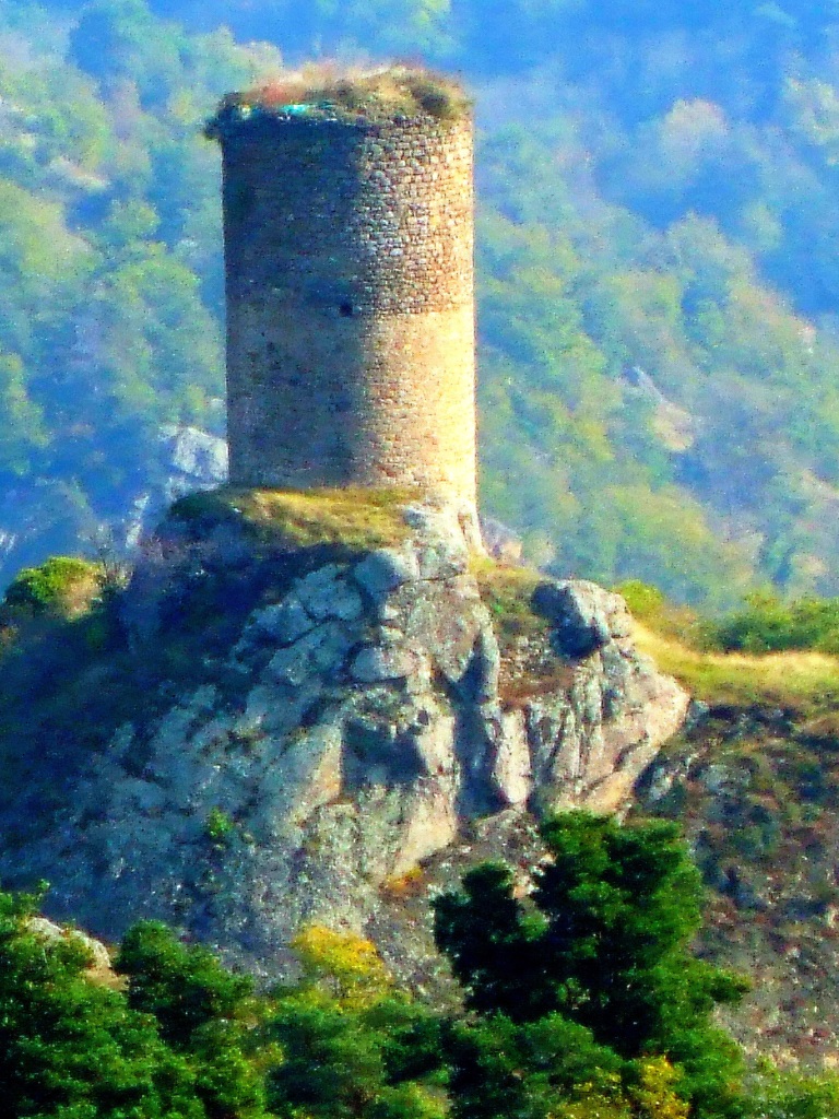


Description
Starting point - At the bridge of Rognon, take the D640 towards Grandeyrolles for 30 m, and go down the road to stream of Quinsat. At the small stone bridge stay on the right bank, and continue upstream across four footbridges. After the fourth footbridge, turn right, cross the brook of Combres, and follow the path that rises in bends to the plateau.
1 - At the crossing on the plateau, take the rightmost path, which goes down slightly at first, before going up to a large path on the left (view on the Forez mountains, the Couzes country and the Sancy massif). Continue until the crossroads in Thone-le-Vieux.
2 - Cross the bridge on the left, then turn right towards Thone-le-Jeune. At the fork, stay to the right and cross Thone-le-Jeune by going down on the left. At the exit, turn right (view of the Sancy river), and continue until you reach Grandeyrolles.
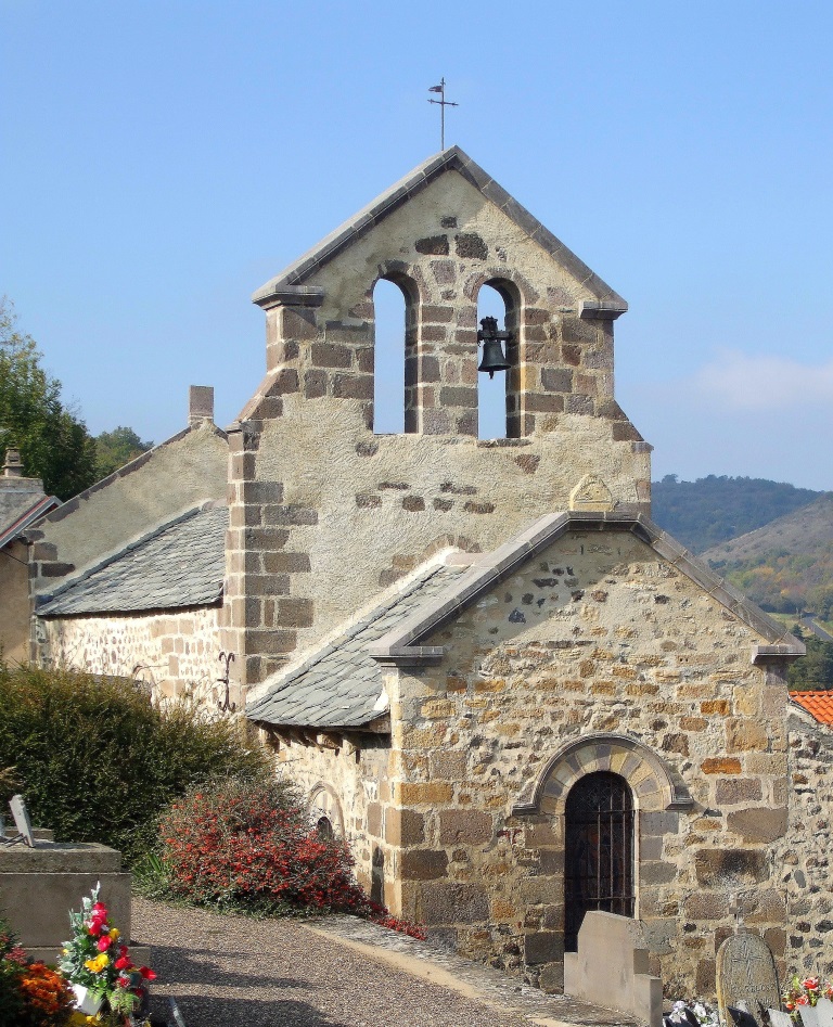
3 - Go through the village (Romanesque church). Continue straight ahead, leaving the puy de Grandeyrolles on the left (view of Livradois-Forez), and then take the winding path down the path that passes under the Rognon tower and reaches the starting point.
- Entity information:Office de Tourisme Auvergne Pays d'Issoire
Profile
- Altitude max. itinerary:759 m
- Altitude difference:257 m
- Positive elevation gain:257 m
- Markup accuracy:Yellow
- Route type:Loop
- Distance:7,5 km
- Daily duration:02h30
Prices
Free access.
Activities
- Pedestrian sports
- Hiking itinerary
Services / Equipment
- Pets allowed
- Pets welcome
Opening
From 01/01 to 31/12.
Subject to favorable weather.
Spoken languages
Customer type
- Level bue - Medium