
 UK
UK
 FR
FR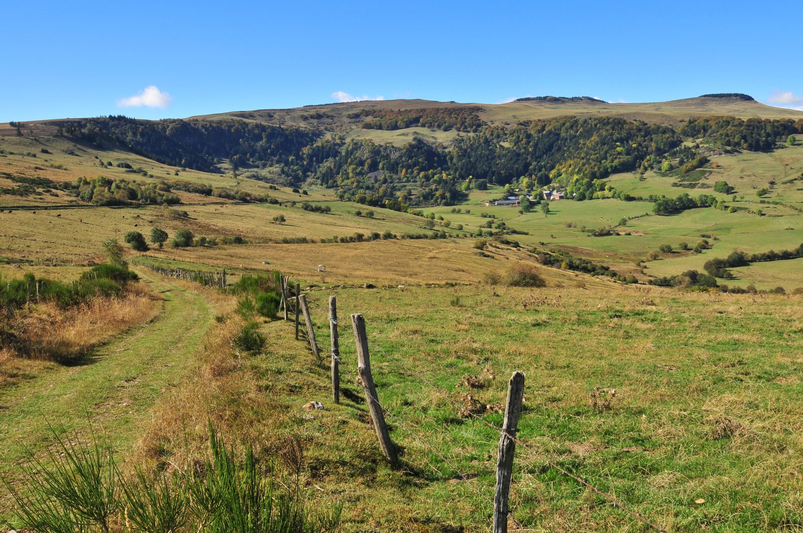


Description
Starting point – Below the starting sign, take the road to Le Buffier. At the farm, go down and follow the path on the left. At the crow's feet, stay on the left until you reach an intersection. Turn right (PV1- view of the Forez, Devès and Margeride mountains). The path goes around the Rocher d'Aulhat, then down to the Artoux glacial cirque (PV2). After crossing a stream, the trail reaches the bottom of the circus. At the intersection, turn right and, 30 m later, go down on the left. After the stream, go up to the road (off course, right on the road, AR 200 m, information sign).
1 - Cross it and go up on the right leaving the GR and the direction of Luguet. At the first constructions encountered, turn right into a path. Go past all the houses, go straight up. At a fork, turn right. Before a small solid shelter near the woods, turn right for about 500 metres.
2 - Leave the path to climb a step ladder on the right. Through the pastures, follow on your right the fence overlooking the circus (PV3). Cross a new step ladder and immediately turn left following the fence. After a third step ladder, go straight ahead until you reach the edge of the woods. Follow it on the left, for about 750 m (PV4: panorama on the Cantal mountains, Sancy and the Dome range). At an intersection, turn left following a fence to reach a wide road.
3 - Take it to the right, pass between the woods of Cézalier and the Croix des Champs and the Signal du Luguet. Go down and take the road on the left for 100 m. Turn right into a summer trail, follow the fence until you reach the finish line.
- Entity information:Office de Tourisme Auvergne Pays d'Issoire
Profile
- Altitude max. itinerary:1526 m
- Altitude difference:470 m
- Positive elevation gain:470 m
- Markup accuracy:Green
- Route type:Loop
- Distance:14 km
- Daily duration:04h30
Prices
Free access.
Activities
- Pedestrian sports
- Hiking itinerary
Services / Equipment
- Pets allowed
- Pets welcome
Opening
From 01/01 to 31/12.
Subject to favorable weather.
Spoken languages
Customer type
- Level red – hard