Description
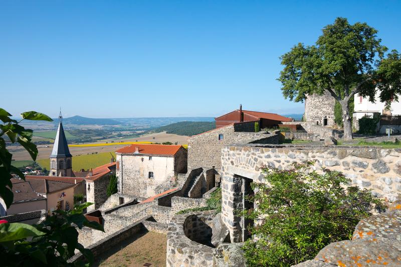
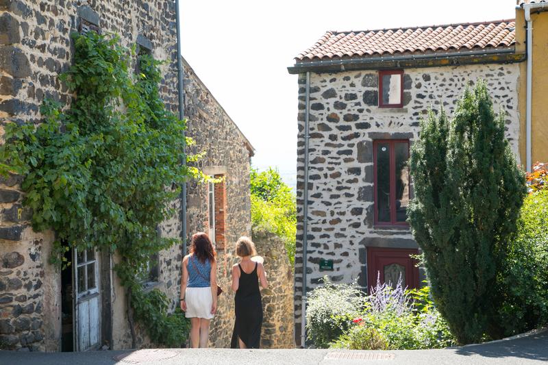
This tour offers diversified natural landscapes as well as many views in the vast lime of the Lembron. Le Broc, Gignat and Bergonne have beautiful winegrower houses and a rich built heritage.
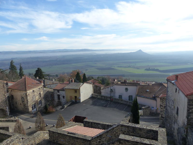
Starting point: From the starting sign, go to the right of the chapel towards the panoramic area (stone sculptures in bas relief on the ground, panorama on the Livradois-Forez mountains, the Nonette peak and the Lembron plain). Go down the stairs then in front of the town hall go right by the rue du Beffroi. Continue on rue Saint-Verny, walk along the ramparts until you reach the crossroads of the D718.
1 - Follow the direction of Issoire for 400 m. In a wide curve, take the dirt road on the right, then at the entrance of a wood, turn left, and pass under the high voltage line. At a T-junction, go down on the left (view on the village of Broc). At the bottom of the descent, turn right and walk through the woods, ignoring the adjacent paths until you reach a thematic table: the path of the hillside of Les Espinasses (view on the villages of Lembronnais). Go down towards the village of Gignat, to the bottom of the rue des Espinasses.
2 - Go to the right and walk along the square until you reach rue du Colombier, which you climb. Continue straight ahead, ignoring the paths on the right, at a fork stay on the left and continue on the plateau. In the woods, go to an intersection.
3 - Take the path on the left and continue along the edge of the plateau, between low walls, on volcanic stones (remains of former shepherd's huts). At a fork, turn left and go straight down into the woods until you reach the road.
4 - Take it on the right and follow it to the village. At the top of the hill, at the first street (rue de Nava), turn right. When you arrive at Place de la Chambre, take the stairs under the church. Pass under the porch, follow the rue de l'Église to reach the "coudert", place du Charlavet (on the left escaped on the Sancy), cross it, pass on the left of the mairie-école and follow the D718. At the exit of Bergonne, leave the road to take the path opposite. Further on, turn left and take the path that goes down to the Malbattu estate. At the D32, turn right, follow it for 500 m (with caution) until the first road on the right.
5 - Go straight up and at a fork continue on the left along the edge of a field (before the hamlet of Quinze, overlooking the Issoire basin). At the place called Domaine des Quinze, go straight ahead by a wide path until 100 m before the top of the hill, at the beginning of a path that is not very visible.
6 - Turn right on the narrow path between woods and thorns until you find the wide path you take on the right until you reach the road. Go to the left to reach the starting point.
- Entity information:Office de Tourisme Auvergne Pays d'Issoire

 UK
UK
 FR
FR